First Alert for late-night showers, a bit cooler for the weekend
- NEXT 12 HOURS: Increasing clouds, late-night showers or storms
- THIS WEEKEND: Morning clouds to some afternoon sun
- NEXT WEEK: Wet weather later Monday, seasonable temps
WAUSAU, Wis. (WSAW) - Clouds roll in Friday night as a cold front heads into the Badger State, with a chance of showers or storms. Dry and a bit cooler this weekend, while the Next Big Change is on the way for Monday.

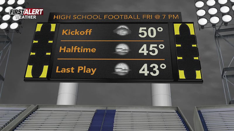
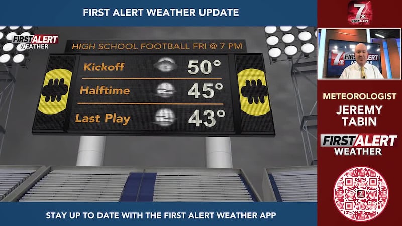
Mostly clear Friday evening, with good weather for those girdiron match-ups in the region. Clouds increasing as the night goes on, with a few showers and a chance of a storm overnight. No severe storms expected. Lows by daybreak on Saturday in the upper 50s to low 60s.

What’s coming up
Clouds on Saturday will break for some sun as the day goes along. Breezy and a little cooler, with afternoon readings topping out in the mid 70s. Sunday will once again start with clouds during the first part of the day, yielding to some sun in the afternoon. It is going to be cooler with highs in the mid 60s.

Looking ahead
A bit of sun is possible early Monday, then turning mostly cloudy. The Next Big Change arrives later in the day with times of rain and a chance of storms. Highs in the mid 60s. The risk of severe storms is low for late Monday and Monday night, but there is a possibility for locally heavy rainfall. Rainfall totals could range from a half inch to an inch and a half. The rain is expected to wind down by Tuesday morning.
Clouds breaking for some sun on Tuesday by the afternoon, with highs around 70. Mostly cloudy on Wednesday with a chance of showers. Highs in the upper 60s.

A fair amount of sunshine for the later stages of the new week with typical temperatures for the middle of September. Highs around 70 on Thursday, and in the low to mid 70s on Friday.

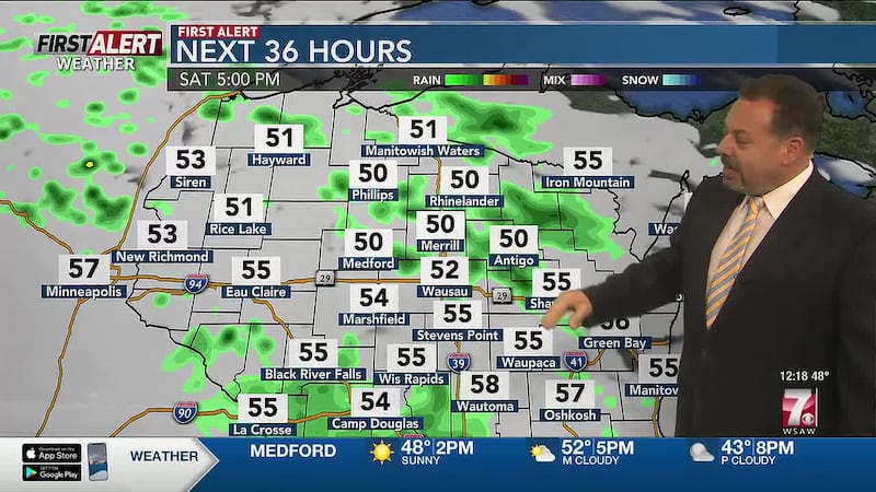
Here’s a look at your First Alert Weather Forecast for central Wisconsin over the next 12 hours. Don’t forget to check back for the latest forecast.
Click here to download the WSAW News app or our WSAW First Alert weather app. Submit Weather photos here!
Copyright 2026 WSAW. All rights reserved.