Enjoy the break: Some sun & mild days before rain takes over
- NEXT 12 HOURS: Diminishing wind, chilly night
- SHORT TERM: Dry into Halloween weekend, staying mild
- LONG TERM: Periods of rain next week, going from mild to cooler
WAUSAU, Wis. (WSAW) - Tranquil weather sticks around to end the work week. Scary clouds but no rain expected for Halloween. Have the umbrella handy for the upcoming week.

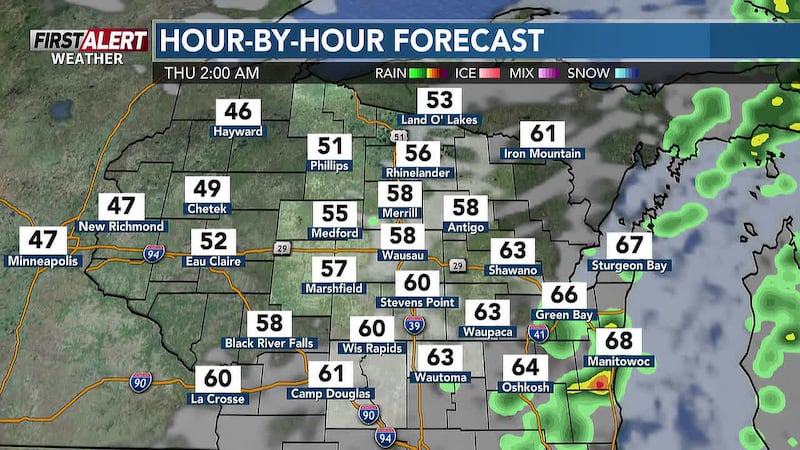
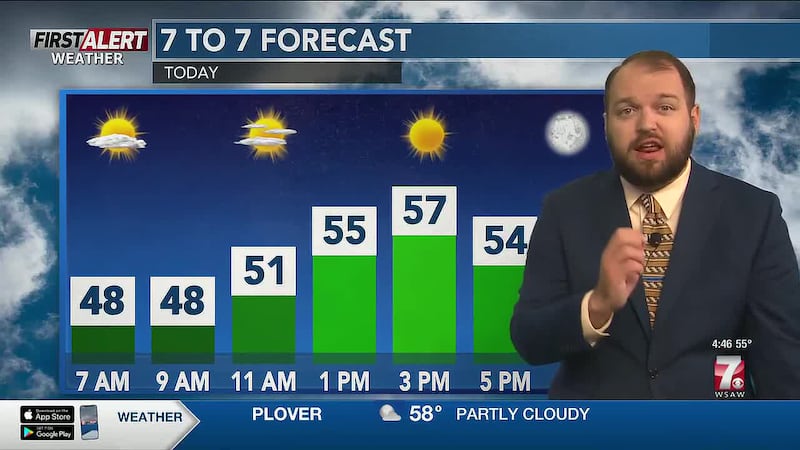
Mostly clear and turning chilly for Thursday night into early Friday. It will be dry and crisp for the Packers game at Lambeau Field. Temps for the game will slip back from the 50s into the mid 40s. Lows overnight in Wausau, Rhinelander, Stevens Point, Wisconsin Rapids, and Marshfield will be in the low to mid 30s.

What’s coming up
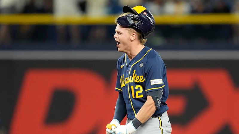
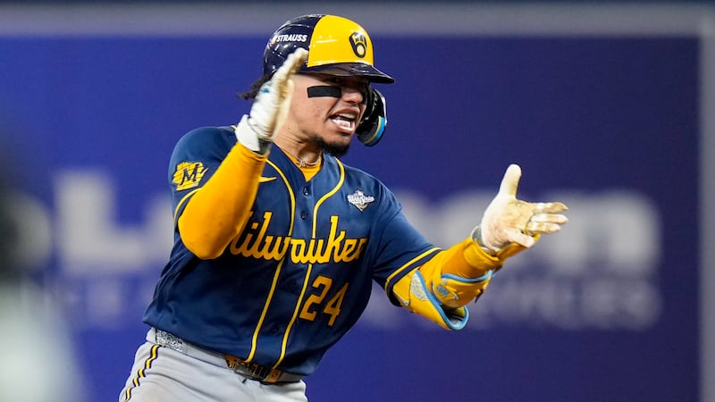
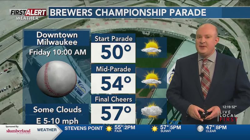
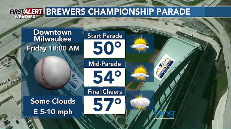
Friday will be a great day for a victory parade in Milwaukee as the World Series Champion Brewers bask in their first team championship. Temps in SE Wisconsin will be in the 50s. Partly sunny and after a chilly start in the Wisconsin River Valley on Friday, highs will rebound into the mid 50s. Fine weather for Level 2 playoff football games on Friday evening. Readings will sip back into the mid 40s as the evening goes along.

Halloween will not feature bone-chilling temperatures or a stew of wet weather. Instead, there will be some spooky clouds and mild conditions for the last day of October. Highs in the mid to upper 50s. Trick-or-treat temperatures will be in the 50s from just before sunset to 8 PM.

Looking ahead
The new month of November kicks off with the continued mild conditions. Considerable cloudiness on Sunday as afternoon readings rise into the low 60s.
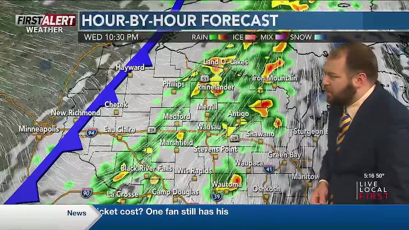
The Next BIG Change heads our way starting later Monday into Monday night. A slow-moving wave of low pressure and a cold front will bring an extended stretch of wet weather. Rain developing Monday afternoon into the evening. Highs in the mid to upper 50s.

Umbrella weather continues for Tuesday, Wednesday, and perhaps into next Thursday. Light to moderate rain will fall, tapering to showers on Thursday as winds pick up. It is going to turn cooler later next week. Highs will go from the upper 50s to around 60 on Tuesday and Wednesday, down to the mid to upper 40s on Thursday.

Here’s a look at your First Alert Weather Forecast for central Wisconsin over the next 12 hours. Don’t forget to check back for the latest forecast.
Click here to download the WSAW News app or our WSAW First Alert weather app. Submit Weather photos here!
Copyright 2026 WSAW. All rights reserved.